|
|
Courses, training and webinar |
|
|
|
TerraNor Courses are specifically geared towards the use of software for GIS
and Remote sensing. We have corporate and open courses.
Customized training:
We offer internal courses for companies / agencies who need to establish production lines in GIS and Remote sensing.
Tell us what you need and we can set up a spesial training.
Open training:
Our general courses in remote sensing is open for anybody. These courses are meant for users who need to analyse satellite, aerial or drone images. We teach you how to combine lidar/laser dtm with optical data.
|
|
|
|

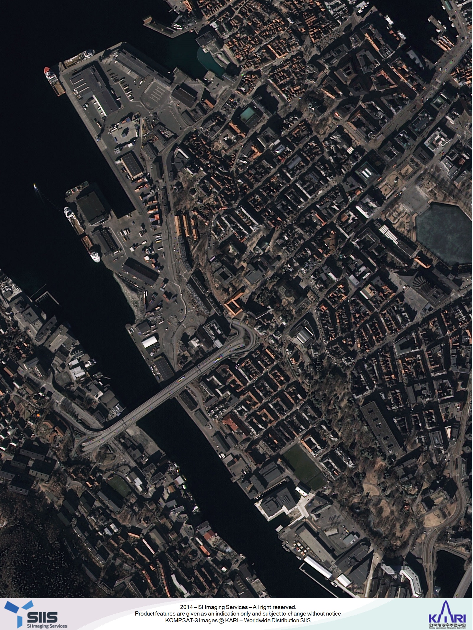
From courses in satellite data management,
Bergen. |
|
|
|
General info, online courses |
|
|
|
We hold online courses if we have 5 participants or more
We limit the number to 12 participants to maximize learning
We use Zoom.
You need a computer with with 20 Gb free space and 16 Gb memory
You need a reasonable stable and good internet connection
You will receive software, data and training material when you enlist
|
|
|
|
Classification and analysis of Sentinel 2 |
|
|
|
Time: March 21 to March 24 - 2022, four days 12:00 - 16:00
Price: 10 750 NOK
Price includes one month rental eCognition, VAT included
Training has no VAT.
Language: Norwegian, English on request.
Register before March 11, 2022.
We combine Sentinel 2 satellite data with lidar / laser data for analysis:
|
|
|
|
- What is remote sensing - a basic lesson about remote sensing and Copernicus.
- What sensors are used, what data do they collect and why
- How to create project with several data: image, lidar and GIS
- How to create rulesets in eCognition
- Segmentation and OBAI - the benefit of creating polygons
- Find and create training sites
- Train the images
- Classify
- Knowledgebased enhancements
More information
in Norwegian
here
Register for the course
here
|
|
|
|
|
|
|
|
Automatic forest mapping |
|
|
|
Time: August 1 to August 4 - 2022, four days 12:00 - 16:00
Price: 10 750 NOK
Price includes one month rental eCognition, VAT included
Training has no VAT.
Language: Norwegian, English on request.
Register before July 22, 2022.
We combine satellite data with areal optical and lidar / laser data for analysis |
|
|
|
You will learn the populations of the stock in aerial and satellite images combined with the use of lidar. Furthermore, you will learn single-tree analysis with the classification of tree species, health and quality. Details of the course can be found in the pdf file below.
Se more
here
|
|
|
|
Register for the course here
|
|
|
|
|
|
|
|
Webinar/Training from our partners:
|
|
|
|
GeoCue,
https://geocue.com/products/lp-360/
eCognition: https://www.youtube.com/ecognitiontv
|
|